Kerala susceptible to tremors after monsoon flood
The monsoon flood that swept Kerala, India’s southern state, for the second consecutive year has ended. But, researchers report the huge deluge may have brought a new hazard — the possibility of seismic activity.
Changes in the stress to underlying rocks could trigger a phenomenon called ‘Reservoir-Induced Seismicity’ (RIS) in deep reservoirs with high water columns of above 100 metres, says Ramasamy Somasundaram, Professor of Eminence at Bharathidasan University in Tiruchirappalli, and lead author of the study. The water column increases the total stress on the Earth’s crust. On the other hand, infiltration from the reservoir reduces the effective stress, the report says. Such changes in the regime can cause earthquakes like the one induced by the Koyna reservoir in Maharashtra state in 1967 that killed 180 people.
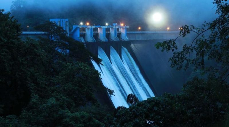
Kerala has more than 43 dams and reservoirs located predominantly in the highly folded, fractured and faulted deep valleys of the Western Ghats, the report says. The numerous faults, represented by ‘lineaments’, were mapped through interpretation of images from the Indian Remote Sensing Satellite Resource, and from NASA’s Shuttle Radar Topography Mission (SRTM). “Detection of lineaments that have experienced repeated deformations show that the rocks of the Western Ghats are tectonically weak,” the report says.
According to the authors, their integrated Geographic Information System (GIS) analysis, “carried out using various geosystems, seismicity, distribution of dams, zones of heavy rainfall and flood inundation,” showed that 21 dams/reservoirs in 12 clusters, including Malampuzha Dam, Kerala’s largest, are highly prone to RIS. These reservoirs need effective water management strategies.
Ramasamy says the study was carried out to assess the vulnerability of Kerala to RIS after the floods in 2018, and is yet to study the floods of August 2019.
Ramesh Singh of Chapman University in California agrees with the report’s conclusions. “Over the years, dense fractures have developed in the upper crust in the southern parts of India made of Precambrian (the earliest part of Earth’s history) rocks, which allow water to flow underground,” Singh, a specialist on natural hazards.
“The extreme precipitation after drought conditions, which could have been caused by climate change, can lead to contrast in the vertical stress and may trigger earthquakes.”
Singh says this was the cause of a mild quake in Hyderabad city in September 2000, after an unprecedented downpour of 24 cm in a single day, several weeks earlier. Singh, who was then a professor at the Indian Institute of Technology in Kanpur, says he warned the authorities of potential tremors.
Singh says Earth scientists of different disciplines, must come together to understand the dynamics of the Earth systems and their associated natural hazards. Besides remote sensing, he calls for the use of GPR (Ground Penetrating Radar) to understand the shallow geophysical structure of the Southern Indian Shield, integrating all kinds of data.
This was originally published by natureasia.com


